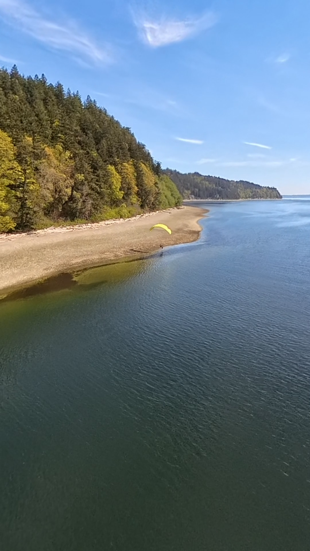
September 6 – 8, 2026 · Tulalip, WA → Everett, WA
2
Days
5
Islands
70+
Miles
Boat
Finish
The San Juan Islands XC is a two-day point-to-point island hop through the saltwater channels of Puget Sound — one of the most technically interesting and visually spectacular cross-country routes available to paramotor pilots anywhere in the country. You will launch from a private grass runway on the Tulalip Tribes reservation, a stretch of coastline with deep roots in Pacific Northwest history and among the richest seafood waters on the continent.
Day one takes you north along the beaches at low tide, then up to altitude for the Puget Sound channel crossings to Whidbey Island, where the group lands and overnight at a private ranch house and LZ with views down the sound. Day two completes the route — Camano Island, Hat Island, and Jetty Island — before the tour finishes at the water's edge and a private boat shuttle carries the group into Everett. The night is spent at the Everett Indigo Hotel before departure the following morning.
This is a genuine XC challenge across open water. It rewards pilots who are current, calm under pressure, and comfortable managing themselves in big airspace. It is also one of the most beautiful routes we run.
Day 1 — Morning
The group assembles at the private grass airstrip on the Tulalip Tribes reservation. Weather brief, gear check, and introductions. The Tulalip people have fished and lived along this coastline for thousands of years — the land you launch from carries that history. We take a few minutes to acknowledge it before we fly.
Day 1 — Midday
Low tide opens the beaches. The route runs north along the hardpack shoreline — wide, flat, and forgiving — for the first leg of the day. Sea birds, exposed tidal flats, and the Olympic Mountains across the water to the west. This is the warmup. Enjoy it.
Day 1 — Afternoon
The channel crossings are the technical centrepiece of the route. Pilots climb to altitude, cross the main shipping channel of Puget Sound, and transit to Whidbey Island. Timing and weather management are critical here. The guide leads and no one crosses without the go-ahead. The views from altitude — water in every direction, the Cascades to the east, the Olympics to the west — are unlike anything reachable from land.
Day 1 — Evening
The group lands at a private ranch property with a dedicated LZ overlooking the sound. Dinner is prepared on site. The evening is unstructured — the porch, the view, and good company. Accommodation is in the ranch house. You will not want to go to sleep.
Day 2 — Morning
After a ranch breakfast and weather brief, the second day's flying begins with a hop to Camano Island — heavily forested, lightly populated, and spectacular from above — then on to Hat Island, a private residential island accessible to almost no one at ground level. From above it is a different world entirely.
Day 2 — Afternoon
The route ends at Jetty Island — a two-mile sandy barrier island at the mouth of the Snohomish River, reachable only by water or air. The group lands, breaks down gear, and boards a private boat shuttle for the short crossing into Everett. The paramotors ride with you.
Day 2 — Evening
The final night is at the Hotel Indigo Everett — waterfront, comfortable, and a proper end to two days of hard flying. Dinner is on your own. The debrief happens naturally at the bar. Departure is the following morning.
Tulalip Tribes private grass runway — ancestral Lushootseed homeland, one of the most historically significant launch sites in the Pacific Northwest
Tulalip Bay tidal flats — productive shellfish beds and a major stop on the Pacific Flyway, visible in full from cruise altitude
Puget Sound main shipping channel — up to 2,000 ft of open water crossing, active container traffic visible below
Penn Cove, Whidbey Island — the longest natural cove on the West Coast, famous for mussel farming and viewed end-to-end on approach
Deception Pass — narrow, tidal strait between Whidbey and Fidalgo Islands visible to the north, one of the most dramatic water features in the state
Camano Island bluffs — 200 ft eroded clay cliffs along the western shore, no road access to the base
Hat Island — private residential island with a single grass airstrip, closed to the public at ground level
Jetty Island sandbar — two miles of undeveloped sand at the Snohomish River mouth, accessible only by water or air
Puget Sound is one of the most productive marine ecosystems on earth. Flying across it puts you above a food chain in full operation — visible from altitude in a way no kayak or ferry ever captures.
Orca (killer whale)
Southern Resident and Bigg's killer whales transit the Saratoga Passage and main Puget Sound channels. A pod surfacing below during a crossing is not unusual in September. It is the kind of thing you do not forget.
Harbor porpoise & Dall's porpoise
Present throughout the sound. Fast, small, and visible as white flashes at the surface from altitude. Common near Camano Island and the Hat Island approaches.
Bald eagle
Nesting pairs on every island along the route. Whidbey Island alone holds over 80 active nests. Expect close encounters near the ranch LZ — they own that ridge.
Great blue heron rookeries
Large colonial nesting sites on Camano and in the Tulalip estuary. Hundreds of birds visible from altitude in a single pass over a rookery.
Harbor seal
Haul-out groups on every exposed tidal rock and sandbar in the sound. Dense concentrations near Jetty Island and the Snohomish River mouth.
Chinook salmon
September is peak fall Chinook run on the Snohomish River. The fish are visible from low altitude as dark shapes holding in the current near the Jetty Island finish.
Mount Baker
The 10,781 ft stratovolcano dominates the northeastern skyline for the entire route. In September the first snow of the season is usually on the upper flanks. From altitude on a clear day the detail is extraordinary.
Mount Rainier
Visible to the southeast from altitude over the sound — 14,411 ft of volcano floating above the Cascade foothills. From over open water the scale and isolation of it reads differently than from land.
The Olympic Peninsula
The full Olympic range closes the western horizon from every point on the route. The High Divide and Hurricane Ridge are identifiable from altitude over Whidbey.
Puget Sound from altitude
The full network of channels, islands, and peninsulas becomes legible from altitude in a way no map prepares you for. You understand the geography of the Pacific Northwest differently after crossing it.
Penn Cove at low water
The longest natural cove on the West Coast. Mussel farm floats in geometric rows, the Coupeville waterfront, and the bluff edge — all visible end-to-end on the Whidbey approach.
Deception Pass
The narrow tidal strait between Whidbey and Fidalgo Islands is visible to the north from altitude. The current through the pass runs up to 8 knots and the turbulence is visible as surface texture from above.
Private ranch property with a dedicated landing zone overlooking Puget Sound. Shared accommodation in the ranch house — real beds, not tents. Dinner is prepared on site. The porch looks west and the sunsets are long.
Waterfront hotel in downtown Everett. Private rooms, proper amenities, and a fitting end to two days of hard flying. Dinner is on your own — the city is walkable and the seafood is good. Checkout the following morning.
All meals are included from breakfast on day one through dinner at the ranch on night one. Day two breakfast is also covered. The Tulalip region is Dungeness crab and salmon country — expect the food to reflect where you are. Dietary needs accommodated with advance notice.
Open water crossings require a different safety posture than inland flying. We do not take shortcuts on this route.
PPG4-rated instructor leads every segment. Channel crossings are briefed in full — altitude minimums, abort triggers, and landing zones on both shores — before anyone leaves the ground.
A second instructor flies tail. No pilot is ahead of lead or behind sweep. If someone goes down, the sweep is already close.
A dedicated powerboat is staged on the water during all channel crossings. If a pilot goes down over open water, retrieval is minutes away, not hours.
Every pilot carries a Garmin inReach for the duration of the route. The lead guide monitors all tracks in real time.
Channel crossings are cancelled if winds exceed 12 knots surface or if marine layer burn-off has not occurred by brief time. No exceptions.
PPG3 rating minimum. 30+ logged solo hours. Current gear inspection within 12 months. Comfort with open water and low-visibility coastal conditions required — discuss with us before registering if unsure.
2026 — Session 1
September 6 – September 8, 2026
8 spots available
2026 — Session 2
September 20 – September 22, 2026
8 spots available
A 10% deposit ($682) holds your spot. The remaining balance is due in full two months before the event date. Paramotor rentals require a separate refundable insurance deposit.
All-Inclusive Trip Fee
$6,820
per person · deposit $682
Also Included
Not Included
Paramotor Rental Add-On
$250
+ refundable insurance deposit
Full 2-day paramotor and wing rental, inspected and test-flown by staff prior to the event. Limited units available — request at time of registration.
Eight pilots max. Two days, five islands, one boat finish. A 10% deposit holds your spot — request an invite and we'll be in touch within 48 hours.
SEATTLE PARAMOTOR
© 2026 Seattle Paramotor. All rights reserved.